
From the mountains of Kargil to the battlefields of Ukraine, two conflicts separated by more than two decades reveal how dependence on foreign-controlled technology can become a strategic vulnerability.
Military cinema has a way of holding up a mirror to a nation’s history. The Netflix web series Operation Safed Sagar dramatizes the Indian Air Force’s high-altitude aerial campaign during the 1999 Kargil War. The show captures the sheer grit, tactical ingenuity and raw courage of pilots flying combat aircraft through narrow Himalayan valleys. Beyond the human drama, it highlights a fundamental truth of modern warfare: bravery on the front lines is inseparable from the technological architecture supporting it.
However, as is common with cinematic retellings, the series takes creative liberties to heighten dramatic tension. In its narrative, Operation Safed Sagar depicts the United States deliberately manipulating GPS signals, feeding corrupted positioning data to Indian forces and causing significant errors in target identification.
While that makes for gripping television, the historical reality is more nuanced—and arguably more revealing.
The United States did not necessarily feed India bad data. It outrightly refused the military GPS functionalities.
The more fundamental problem was India’s dependence on a satellite navigation system controlled by another country, alongside the limitations of the civilian service available at the time.
The Kargil Reality: GPS Dependence and Its Limitations
When Pakistani soldiers camuflaged as mujahidin and tribals, occupied the strategically important heights of Tololing, Tiger Hill and other positions in the Kargil sector in May 1999, the Indian military faced an asymmetric tactical nightmare. Enemy combatants occupied fortified positions on high-altitude ridges overlooking Indian supply routes, armed with shoulder-fired Surface-to-Air Missiles (MANPADS).
The Indian Air Force had to conduct operations in exceptionally difficult terrain, where conventional navigation and target identification presented considerable challenges. Aircraft had to negotiate narrow valleys, account for rapidly changing weather and operate within the engagement envelope of enemy air defences.
Satellite navigation offered an important advantage. However, India’s access to GPS came with limitations.
At the time, the US-operated Global Positioning System employed a feature known as Selective Availability (SA). This deliberately introduced errors into the civilian Coarse/Acquisition (C/A) code, degrading positioning accuracy to approximately 100 metres. The restriction applied globally, rather than specifically targeting India. The United States discontinued Selective Availability in May 2000.
There was another complication. Indian military maps used the Everest Spheroid as their geographical reference, whereas GPS receivers generally provided coordinates based on the World Geodetic System 1984 (WGS-84). The difference between these coordinate reference systems introduced additional positional discrepancies when GPS readings were compared directly with Indian military maps.
Former Air Chief Marshal B.S. Dhanoa, portrayed by Jimmy Shergill in Operation Safed Sagar, commanded No. 17 Squadron, the Golden Arrows, during the Kargil War, has explained how these discrepancies affected navigation. He later became Chief of the Air Staff, serving from 2016 to 2019. While handheld GPS receivers presented challenges, the Time Arc-6 GPS systems installed in MiG-21 and MiG-23 aircraft could be configured to work with Indian Everest coordinates.
Dhanoa has also disputed the suggestion that the Americans deliberately manipulated GPS signals to mislead Indian pilots.
There have been accounts of the United States withholding access to more accurate military-grade GPS capabilities during the conflict. However, the precise circumstances of an alleged request for access to encrypted military GPS signals and its refusal are not conclusively established in publicly available official records.
The distinction matters. The historical evidence points to the limitations of civilian GPS, the challenges of coordinate-system incompatibility and India’s dependence on foreign-controlled navigation infrastructure. It does not establish a deliberate American campaign to feed Indian forces false coordinates.
India adapted through operational ingenuity and technological improvisation. The IAF used available GPS equipment, worked around coordinate discrepancies and integrated Israeli LITENING targeting pods onto Mirage 2000 aircraft to improve target identification and precision.
The larger strategic lesson, however, extended beyond the immediate operational challenges. A country cannot afford to leave a critical military capability entirely dependent on infrastructure controlled by another nation, particularly when geopolitical interests diverge.
History Repeats Itself: Starlink in the Russo-Ukrainian War
If anyone believed that the vulnerabilities exposed during Kargil were unique to the circumstances of the 1990s, the war in Ukraine delivered a sharp reminder that technological dependence remains a strategic vulnerability.
Following Russia’s full-scale invasion in February 2022, Ukrainian communication infrastructure suffered extensive disruption from cyberattacks and electronic warfare. Among the early casualties was the satellite communications network operated by Viasat, which suffered a major cyberattack shortly before the invasion.
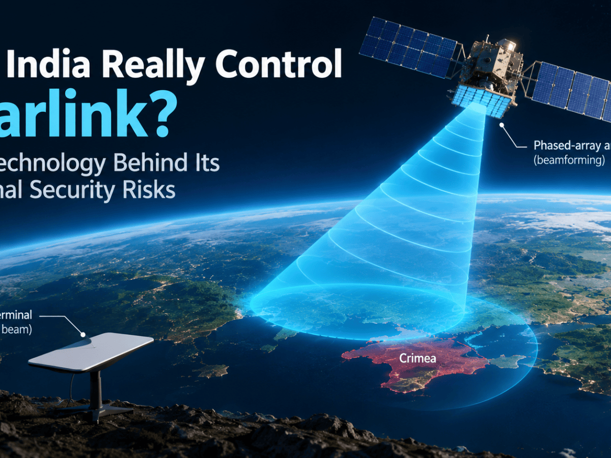
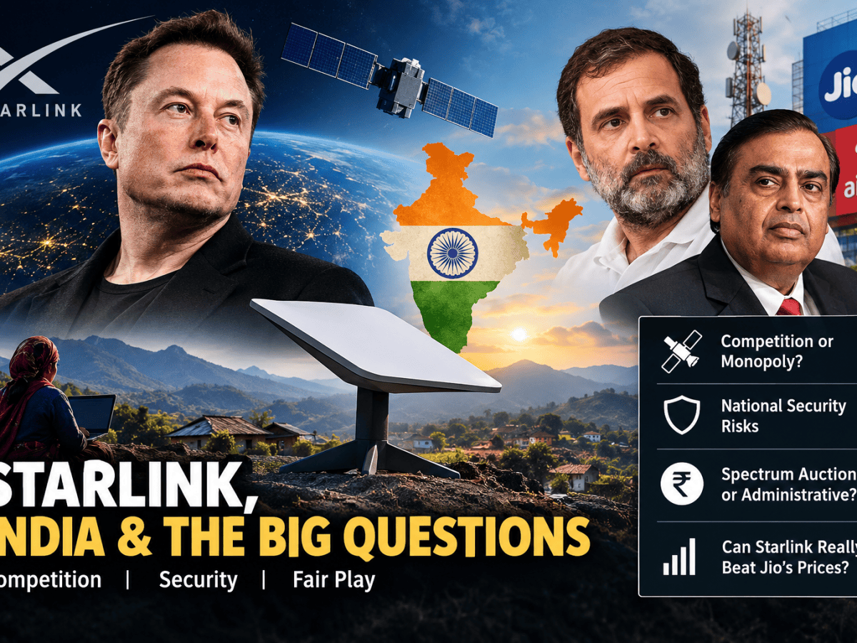
SpaceX’s Starlink, a Low Earth Orbit (LEO) satellite constellation providing high-speed, low-latency internet connectivity, emerged as an important alternative.
Starlink quickly became an essential part of Ukraine’s communications infrastructure, supporting military coordination, frontline communications, drone operations and the transmission of battlefield intelligence.
However, Ukraine’s reliance on a privately owned, foreign-controlled satellite network soon exposed a different dimension of technological dependence.
In September 2022, Ukrainian forces planned a naval drone operation against Russian naval assets at Sevastopol in Russian-occupied Crimea. The operation required Starlink connectivity in an area where the service had not been activated.
Ukraine requested that Elon Musk extend Starlink coverage to support the operation. Musk refused, citing concerns that enabling the attack could make SpaceX complicit in a major escalation of the conflict.
The incident initially received widespread attention after Walter Isaacson’s biography of Musk suggested that Starlink connectivity had been switched off while the drones were approaching their targets. Isaacson subsequently corrected his account, clarifying that coverage had not been enabled in the area in the first place and that Musk had refused Ukraine’s request to activate it.
The distinction is important, but it does not diminish the strategic implications.
SpaceX was a private company operating under its own commercial, legal and strategic considerations, rather than a government-controlled military communications provider. Yet its technology had become sufficiently important to Ukraine’s military operations that a decision made by its CEO could influence the options available to the country’s armed forces.
The parallel between Kargil in 1999 and Ukraine in 2022 is striking:
- A sovereign nation engaged in a military conflict relies on critical technology controlled by an external entity.
- The nation attempts to use that technology to achieve an important operational objective.
- The nation encounters limitations or restrictions in accessing the technology, arising from the policies and strategic interests of the external provider.
- The dependent nation finds its operational options constrained by a decision it does not control.
The two incidents are not identical. GPS is a positioning, navigation and timing system, whereas Starlink provides communications infrastructure. But both illustrate how control over critical technology can translate into influence over military decisions.
The Myth of Neutral Foreign Technology
The hard truth of international relations is that foreign technology cannot be assumed to remain neutral during wartime.
Whether it is a satellite navigation network, a low-Earth-orbit communications constellation, proprietary cloud infrastructure or an advanced semiconductor supply chain, foreign-controlled technology remains subject to the laws, foreign policy, commercial interests and political pressures of the country or organisation controlling it.
In peacetime, global platforms are marketed as seamless, borderless utilities. They offer convenience, efficiency and cost advantages that make them attractive to governments, businesses and consumers.
In wartime, however, the same infrastructure can become an instrument of statecraft.
The vulnerability is not necessarily the technology itself. It is the absence of control over its continued availability.
A nation that relies exclusively on a foreign satellite navigation system, for example, may find its military operations constrained by decisions taken thousands of kilometres away. Similarly, dependence on a commercial satellite communications provider can create uncertainty about the availability of connectivity during a conflict.
This does not mean that countries should reject foreign technology or attempt to manufacture every component domestically. Such an approach would be economically impractical and, in many cases, technologically counterproductive.
The real objective should be strategic technological autonomy: the ability to maintain critical national capabilities even when external access is restricted or withdrawn.
This requires more than developing indigenous alternatives. It requires control over essential infrastructure, access to critical intellectual property, the ability to maintain and operate systems independently, and sufficient redundancy to ensure that the failure of one technology does not cripple an entire capability.
For national security, technological interdependence must be a choice rather than a vulnerability.
The question, therefore, is not whether nations should depend on foreign technology, but how much of that dependence they can afford when national security is at stake.
For India, the experience of Kargil reinforced the importance of developing an independent satellite navigation capability. The result was NavIC, India’s own regional navigation satellite system.
But building an indigenous satellite constellation is only part of the challenge. The engineering decisions behind NavIC, its orbital architecture, positioning capabilities and limitations reveal a much larger story about what it takes to achieve technological sovereignty.
That is the story of the next part. Thanks for reading the article, please follow the blog to read the next part.
Also read:
- The $30K Drone vs the $6M Missile: America’s New War Problem
- Pralay Explained: Why the “Apocalypse” Missile is Pakistan’s Strategic Dead End
- Rafale Deal sums up India’s journey from “Marut” to “Tejas”
- ASAT, ABM and the shifting Nuclear Paradigm
- Can India Really Regulate Starlink? The Lessons from Ukraine









Leave a Reply